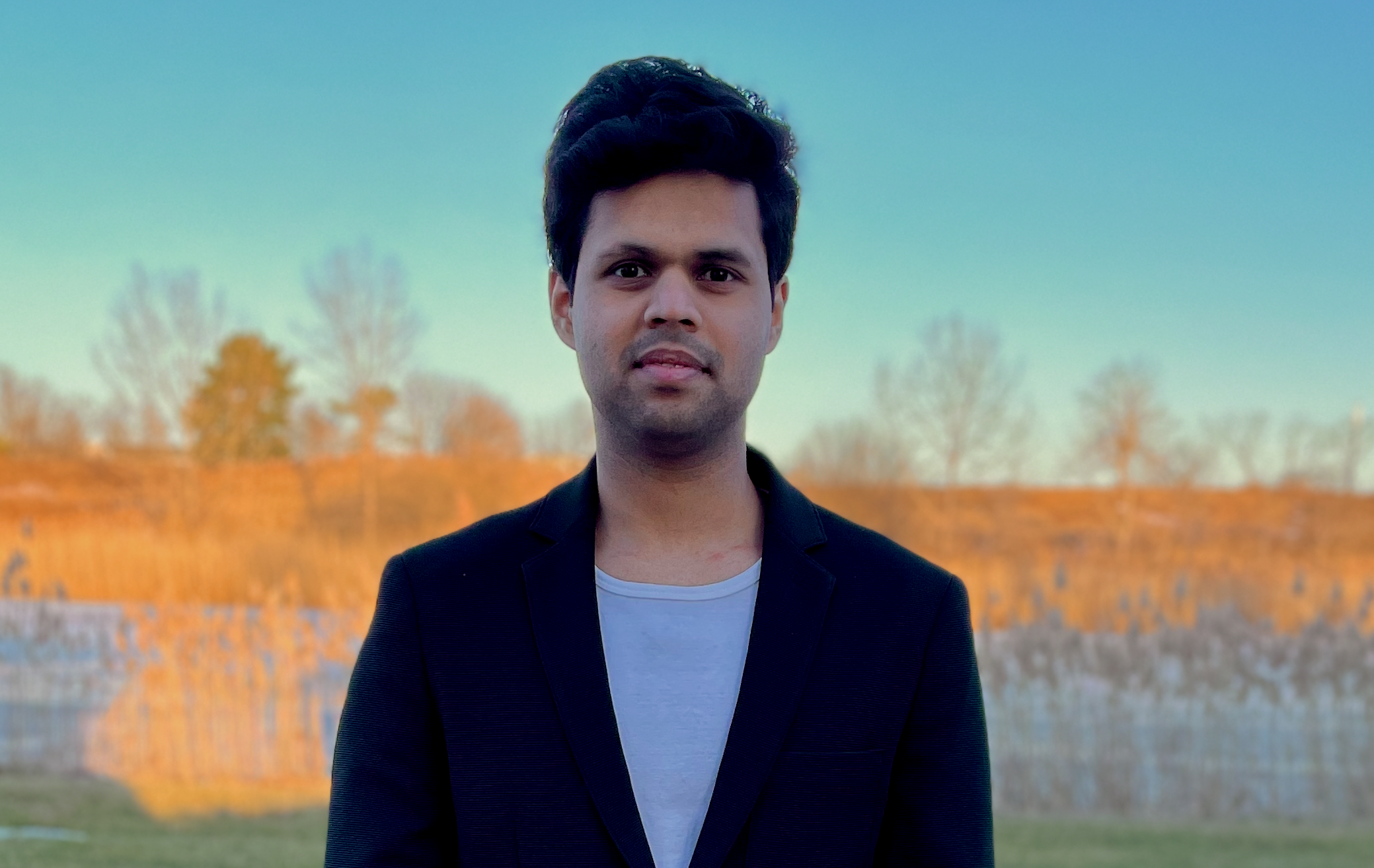
About me

I'm a Ph.D. student at the University at Buffalo working with Dr. Karthik Dantu at DRONES Lab. My research interests include evaluation metrics for SLAM, learning for perception and field robotics. I currently teach CSE 4/568 Robotics Algorithms (Fall 2024).

Projects

PIXER: Learning Visual Information Utility


Accurate feature detection is fundamental for various computer vision tasks including autonomous robotics, 3D reconstruction, medical imaging, and remote sensing. Despite advancements in enhancing the robustness of visual features, no existing method measures the utility of visual information be- fore processing by specific feature-type algorithms. To address this gap, we introduce PIXER and the concept of “Featureness”, which reflects the inherent interest and reliability of visual information for robust recognition independent of any specific feature type. Leveraging a generalization on Bayesian learning, our approach quantifies both the probability and uncertainty of a pixel's contribution to robust visual utility in a single- shot process, avoiding costly operations such as Monte Carlo sampling, and permitting customizable featureness definitions adaptable to a wide range of applications. We evaluate PIXER on visual-odometry with featureness selectivity, achieving an average of 31% improvement in RMSE trajectory with 49% fewer features.

EARTH: Excavation Autonomy with Resilient Traversability and Handling


Excavators, earth-movers, and large construction vehicles have been instrumental in propelling human civilization forward at an unprecedented pace. Recent breakthroughs in computing power, algorithms, and learning architectures have ushered in a new era of autonomy in robotics, now enabling these machines to operate independently. To this end, we introduce EARTH (Excavation Autonomy with Resilient Traversability and Handling), a groundbreaking framework for autonomous excavators and earth-movers. EARTH integrates several novel perception, planning, and hydraulic control components that work synergistically to empower embodied autonomy in these massive machines. This three-year project, funded by MOOG and undertaken in collaboration with the Center for Embodied Autonomy and Robotics (CEAR), represents a significant leap forward in the field of construction robotics.

Empir3D: Multi-Dimensional Point Cloud Quality Assessment


In this work, we propose an evaluation framework for point clouds (Empir3D) that consists of four metrics - resolution (Qr) to quantify ability to distinguish between the individual parts in the point cloud, accuracy (Qa) to measure registration error, coverage (Qc) to evaluate portion of missing data, and artifact-score (Qt) to characterize the presence of artifacts. Through detailed analysis, we demonstrate the complementary nature of each of these dimensions, and the improvement they provide compared to uni-dimensional measures highlighted above. Further, we demonstrate the utility of Empir3D by comparing our metric with the uni-dimensional metrics for two 3D perception applications (SLAM and point cloud completion). Empir3D advances our ability to reason between point clouds and helps better debug 3D perception applications by providing richer evaluation of their performance.

Publications

VRF: Vehicle Road-side Point Cloud Fusion


Kaleem Nawaz Khan, Ali Khalid, Yash Turkar, Karthik Dantu and Fawad Ahmad

Proceedings of the 22nd Annual International Conference on Mobile Systems, Applications and Services (MobiSys), 2024

Enhancing Archaeological Surveys with In-Sar Imagery and UAV-Based GPR


Yash Turkar, Shaunak De, Charuvahan Adhivarahan, Luca Mottola, Alessandro Sebastiani, Davide Castelletti, Karthik Dantu

International Geoscience and Remote Sensing Symposium (IGARSS), 2024

Kinematics-only differential flatness-based trajectory tracking for autonomous racing


Yashom Dighe, Youngjin Kim, Smit Rajguru, Yash Turkar, Tarun Singh, and Karthik Dantu

Proceedings of the 22nd Annual International Conference on Mobile Systems, Applications and Services, 2024

Generative-Network based Multimedia Super-Resolution for UAV Remote Sensing


Yash Turkar, Christo Aluckal, Shaunak De, Varsha Turkar, Yogesh Agarwadkar

International Geoscience and Remote Sensing Symposium (IGARSS), 2022

Curvelet Based Watermarking of Multispectral Images and its effect on classification accuracy


Harshula Tulapurkar, Yash Turkar, Varsha Turkar, B.Krishna Mohan

URSI AsiaPacific Radio Science Conference (AP-RASC 2019)

Dynamic path planning system for UAV remote sensing in urban environments


Yashom Dighe, Yash Turkar, Christo Aluckal, Yogesh Agarwadkar, Sunil Surve

National Symposium on Innovations in Geospatial Technology for sustainable Development with special emphasis on NER, ISG, ISRS, 2019

Let's get in touch?


Email: yashturk@buffalo.edu
Mob: +1 (716)-222-3761